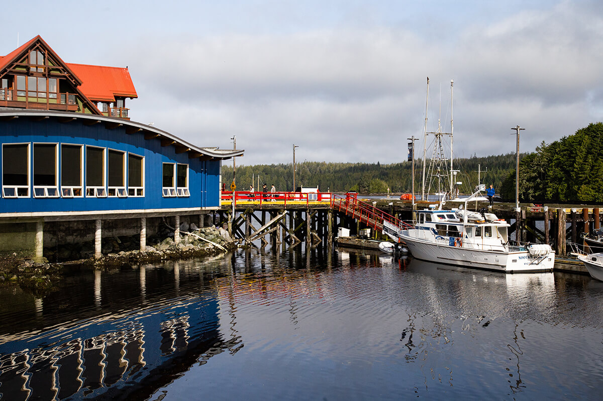
Getting to Ucluelet
Build in some extra time so you can enjoy the scenery on your way here!
Put your favourite music on, grab some snacks and fill up your tank because your trip to Ucluelet is most likely going to start with a scenic car and ferry ride. If you choose to arrive by air at one of the Island airports, the journey will allow for new adventures along the way.

Ucluelet is located on the magnificent outer West Coast of Vancouver Island. About a 4-hour drive, we are 290 kilometers (km) northwest of British Columbia’s provincial capital, Victoria, and approximately five hours, including the ferry ride, from Vancouver. The closest city is Port Alberni, approximately 100 km to the east, and the District of Tofino is about 40 km northwest of Ucluelet. Map
Driving distance:
- From Vancouver – 196 km (2.5 hours driving + 2.5 hours by ferry)
- From Calgary – 1229 km (13 hours driving + 2.5 hours by ferry)
- From Seattle – 483 km (6 hours driving + 2.5 hours by ferry)
- From Victoria – 290 km (4 hours)
- From Nanaimo – 182 km (2.5 hours)
- From Comox – 205 km (3 hours)
- From Port Alberni – 100 km (1.5 hours)
- From Tofino – 40 km (35 minutes)
When travelling north from Nanaimo, exit west on Highway 4 toward Port Alberni, Tofino and Ucluelet. In a few short hours, you will arrive at the junction of Highway 4 and the Pacific Rim Highway, turn left at the junction and drive southeast 8 kilometres to Ucluelet.
Please note: All Season M/S Rating or Winter tires are required when driving Highway 4 to Ucluelet from October 1st to March 31st each year. For more information from British Columbia’s Ministry of Transportation & Infrastructure, please click here.
Tip: Visit Drive BC for real-time highway conditions and webcams at the Port Alberni Summit.
- Connecting to 65+ destinations in BC: Pacific Coastal Airlines provides regular scheduled, chartered, and cargo services to 16 airports with connections to 50+ destinations in British Columbia.
- Daily service between Vancouver Harbour, Victoria Inner Harbour and Nanaimo Harbour
- Daily scheduled flights between Vancouver and Victoria, Tofino and Ucluelet and Qualicum Beach and Parksville.
- Scheduled flights from the South Terminal at Vancouver International Airport, Nanaimo, and Victoria Airport Water Aerodrome.
- For international air travelers, the nearest international airports are Vancouver (YVR) on the mainland or Victoria (YYJ) on southern Vancouver Island.
- Victoria International (YYJ)
- Nanaimo Airport (YCD)
- Comox Valley Airport (YQQ)
- Tofino/Ucluelet Airport (YAZ)
- 188 Airport Rd, Tofino, BC V0R 2Z0, Canada
- Seasonal Close Oct to Apr
- (250) 725.2060
